
Emergency flood response involves a complex network of interconnected people, decisions and actions. A flood forecast may begin with data, models and observations, but what happens after the forecast is issued?
For a group of University of Alabama graduate students, answering that question meant traveling through parts of Tennessee and North Carolina still showing the impacts of Hurricane Helene, speaking directly with the people responsible for forecasting, managing and responding to one of the region’s most devastating inland flooding events.
As part of the National Science Foundation Water Research-to-Operations National Research Traineeship, or Water-R2O NRT, program, this year’s cohort recently completed its operational hydrology study tour. The multi-day experience took students from the Tennessee Valley Authority to communities in western North Carolina affected by Hurricane Helene and concluded at the National Weather Service Southeast River Forecast Center in Peachtree City, Georgia.
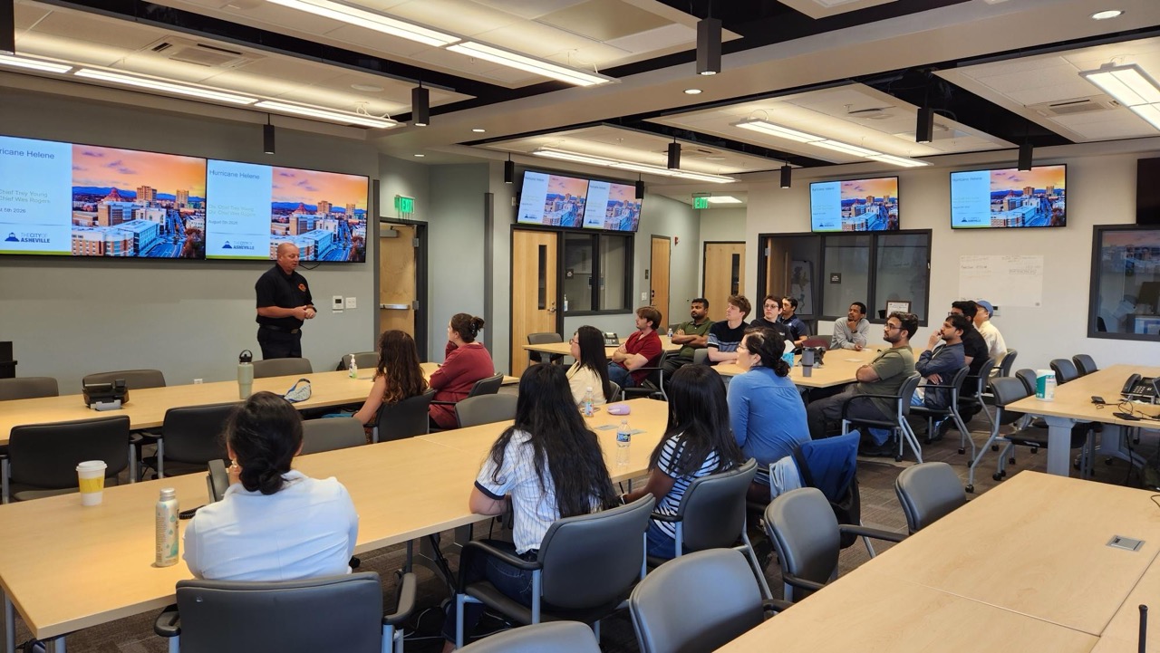
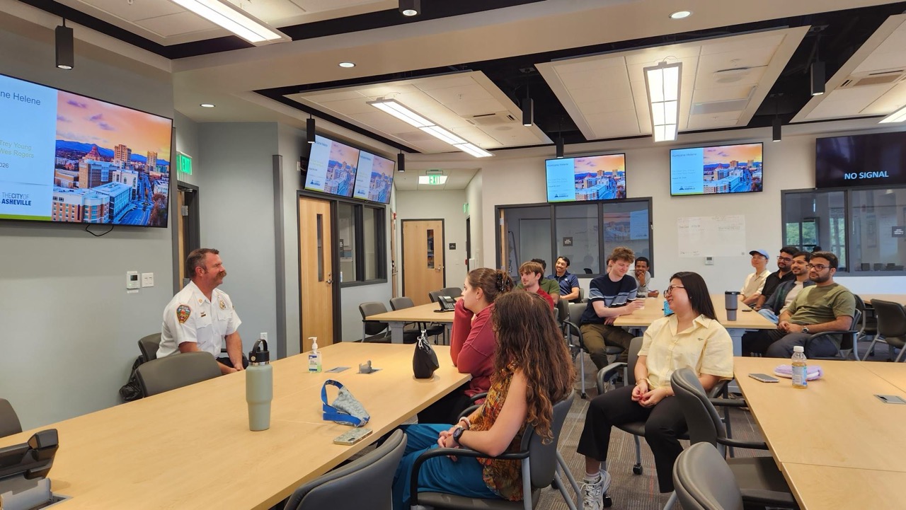
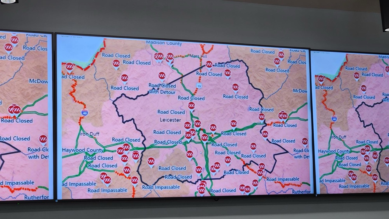
CIROH researchers and students visited operational partners and communities affected by Hurricane Helene as part of the Operational Hydrology Study Tour, gaining firsthand insight into the challenges of water forecasting and emergency response.
The tour was designed to give students something they cannot fully experience in a classroom: a firsthand look at how hydrologic science moves from research and forecasting into decisions that affect real communities.
Reliving Hurricane Helene Through Those Who Responded
This year’s study tour centered on Hurricane Helene and the widespread inland flooding that followed.
Dr. Lisa Davis, professor in the Department of Geography and the Environment, said the idea originated with the program’s leadership board, which includes water operations leaders from government and industry.
“The goal was to help the NRT fellows relive the Hurricane Helene floods from those who experienced it through their professional roles,” Davis said. “From the forecasts made to the impacts on the ground and the recovery process.”
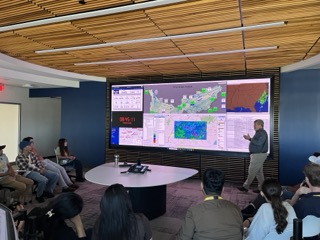
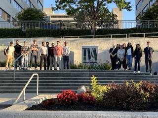
Participants in the operational hydrology study tour visited the Tennessee Valley Authority River Forecast Center to learn how hydrologic forecasts support river operations and decision-making across the region.
Students visited some of the areas hardest hit by Helene’s inland flooding, including TVA’s Nolichucky Dam and communities in western North Carolina. They met with emergency management professionals in Yancey County and Asheville, hearing firsthand how the event unfolded and how different communities faced dramatically different operational challenges.
At the Nolichucky Dam, students saw the scale of the flooding and learned how close the facility came to failure during the event.
For NRT trainee Devin Hawkins, the visit changed the way he thinks about flooding.
“When visiting the Nolichucky Dam, I learned that the dam withstood twice the flow of Niagara Falls,” Hawkins said. “This comparison changed the way I visualized riverine flooding. I always considered the inundation of flooding, but I never gave the flow rates and amount of debris carried in the water the same level of consideration.”
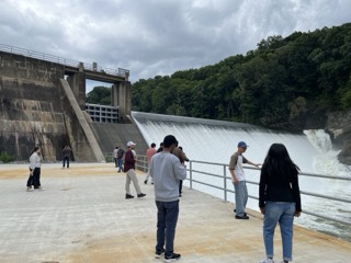
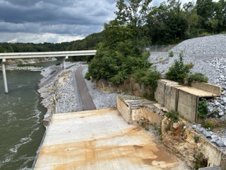
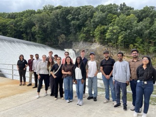
The study tour included a visit to Nolichucky Dam, where participants explored the connection between water forecasting, reservoir operations and on-the-ground water management.
The experience became even more tangible as students traveled through western North Carolina and observed the remaining evidence of flooding and landslides.
“Seeing things in photos only tells a story so much, but seeing the flood and landslide scars firsthand puts it into perspective,” said NRT trainee Mollee Starr. “Unless you unfortunately live through it, events will not be put into proper perspective without visiting the damage and seeing the wreckage even years after the event.”
Water Operations Is About More Than Water
The tour also revealed an often-overlooked reality of water forecasting and emergency management. Behind every model, forecast and operational decision are people working under pressure.
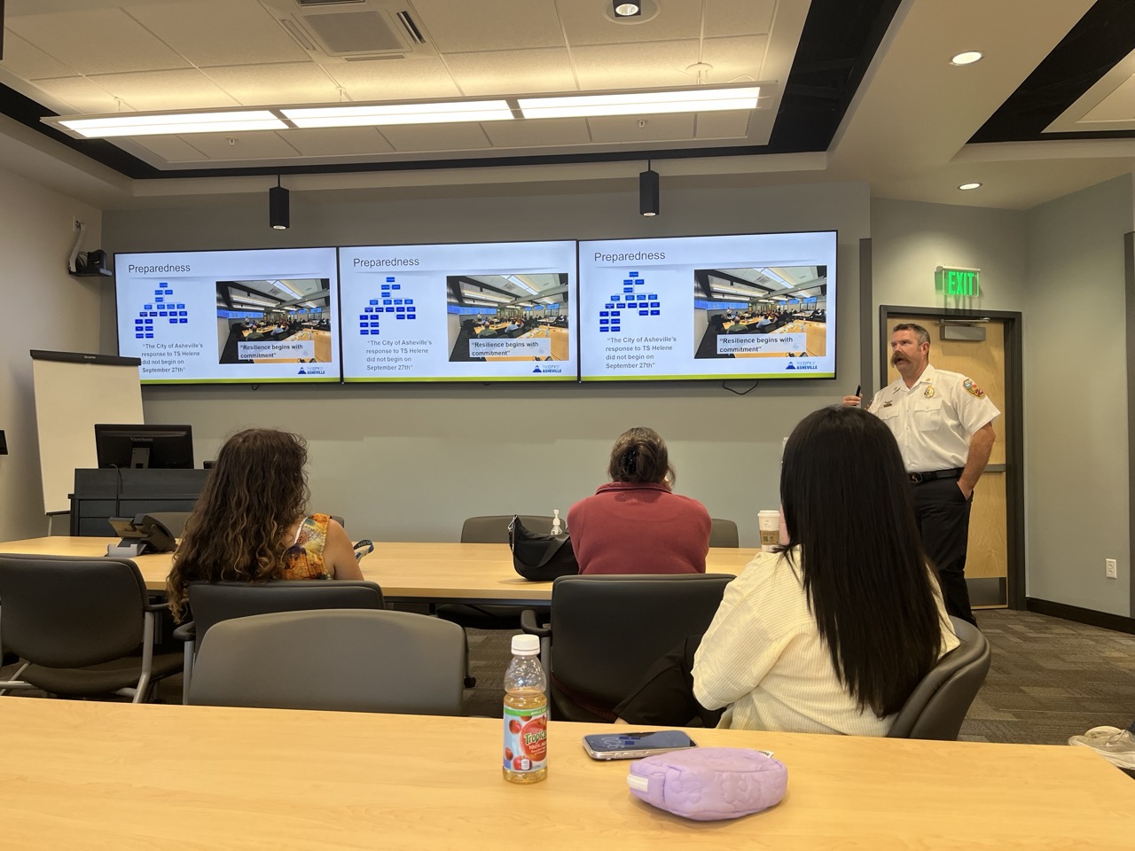
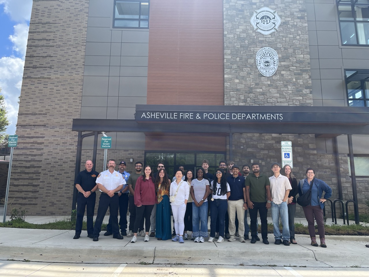
At the City of Asheville Emergency Operations Center, participants learned how emergency managers use forecasts and other information to support decision-making and community response.
At Yancey County Emergency Services, students saw how a small emergency management operation can be responsible for an enormous range of hazards and responsibilities.
Jack Balthasar, a Ph.D. student in electrical engineering, said one of the biggest surprises was how few people were responsible for managing such complex operations.
“I expected much larger teams with highly specialized roles,” Balthasar said. “Instead, I saw situations where a very small number of people were responsible for an enormous range of tasks and hazards.”
That experience gave him a greater appreciation for the people using the technologies and information developed by researchers.
“It gave me a much greater appreciation for both the responsibility placed on these individuals and the importance of giving them tools that are reliable, understandable and easy to use,” he said.
The contrast between Yancey County and Asheville also demonstrated how communities can face the same disaster under very different circumstances.
According to Dr. Wanyun “Abby” Shao, associate professor in the Department of Geography and the Environment, the two visits were intentionally selected to show students how differences in geography, staffing and available resources can shape emergency response.
In Yancey County, where limited personnel meant greater reliance on volunteers and community support, students saw one model of disaster response. In Asheville, they observed how city officials and first responders coordinate across organizations to make critical decisions during an emergency.
The common thread, however, was collaboration.
“Even when there have been weeks or years of planning, surprises still happen,” Davis said. “The ability to adapt and respond to those is heavily determined by how well you can operate as a team.”
From Research to Real-World Decisions
For the Water-R2O NRT program, these lessons go directly to the heart of its mission.
The interdisciplinary graduate program prepares students to bridge the gap between hydrologic research and operational water forecasting. Through training in hydrology, artificial intelligence, decision science and collaboration with operational partners, students learn to design research with real-world users and applications in mind.
The operational hydrology study tour provides an early opportunity to see that connection in action.
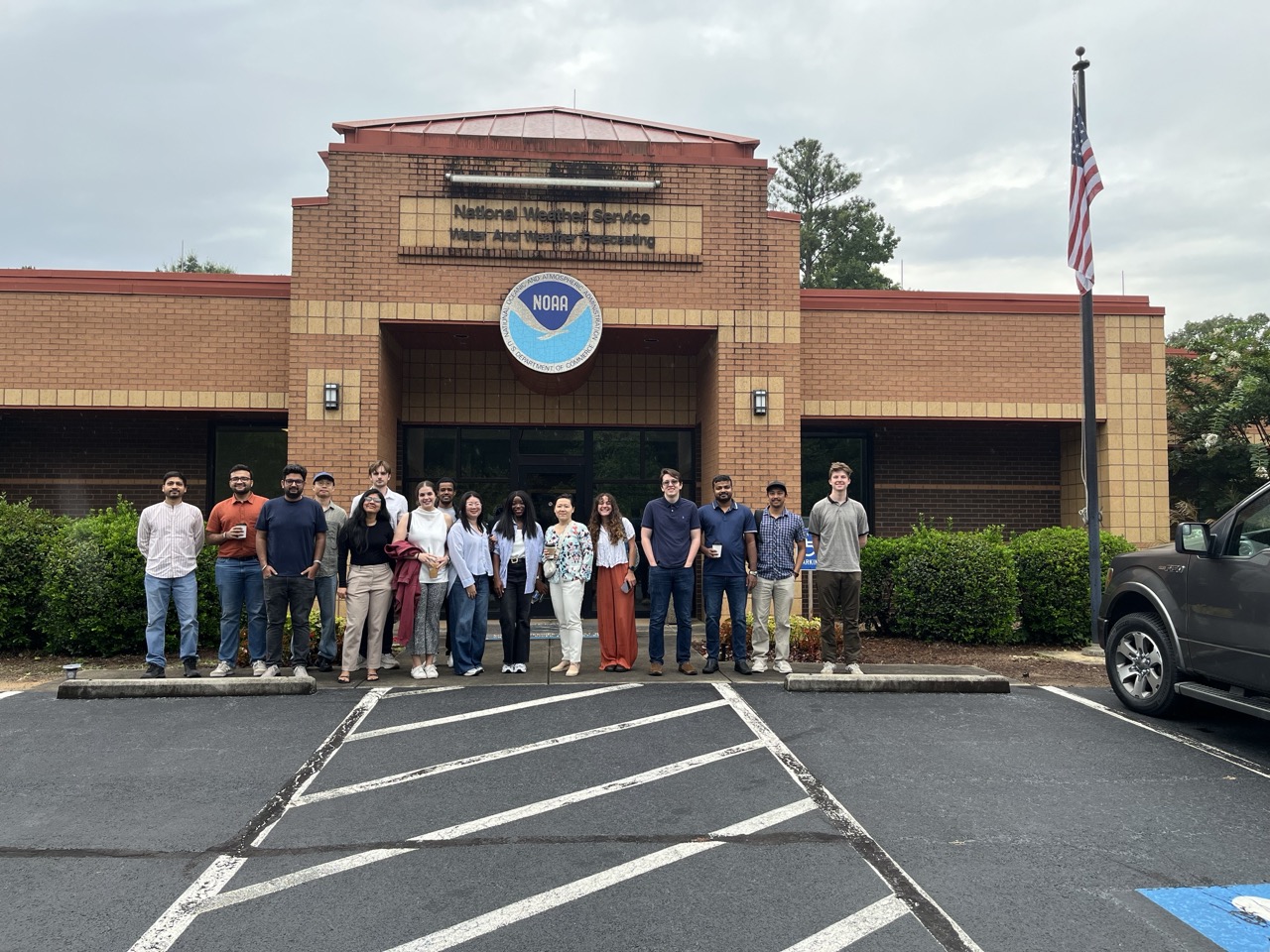
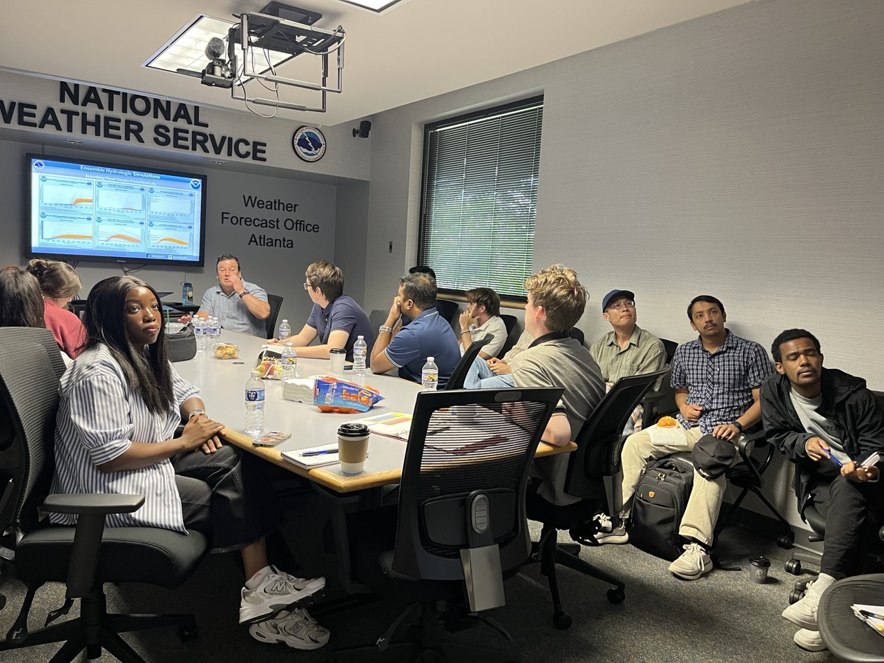
Participants visited the National Weather Service’s Southeast River Forecast Center to learn how hydrologic forecasts support flood prediction, river operations and water management across the Southeast.
“The tour is designed to expose the fellows at the beginning of their studies to the real-world demands, challenges and rewards so that they better understand the learning activities built into the program,” Davis said.
Students saw this connection from multiple perspectives. At TVA, they explored the challenges of managing river and reservoir systems during a catastrophic flood. At the Southeast River Forecast Center, they learned how hydrologists turn real-time observations and scientific knowledge into forecasts that support decision-making across the region.
For NRT trainee Bayisa Tulu Areda, the SERFC provided a particularly meaningful example.
“Seeing how hydrologists work with real-time observations and forecasts showed me how much responsibility comes with turning hydrologic information into decisions that communities can actually use,” Areda said.
The experience also helped him reconsider how his own research might connect to those users.
“The tour helped me look at my research beyond the academic perspective,” he said. “Seeing forecasting and water management operations firsthand made me think more carefully about how research methods and results can be designed so they are useful to forecasters, water managers and other decision-makers.”
For Hawkins, seeing the application of a concept discussed in the classroom helped make the connection between theory and operations clearer.
“I learned about the HAND model in [class], although with no hands-on experience, I struggled to understand the terminology,” he said. “Seeing the HAND model in practice at SERFC made some of the terminology suddenly click, and I gained a deeper understanding.”
Zooming Out
For Balthasar, the tour offered something equally important: perspective.
“When you are heavily involved in research, it can sometimes feel like you are working behind a curtain,” he said. “It becomes easy to focus intensely on a specialized problem and lose sight of the larger application and the people who will ultimately be affected by the work.”
He described the experience as an opportunity to “zoom out” from his own research and consider the people, organizations and communities that may eventually depend on the technologies researchers develop.
“Translating research into practice means maintaining that ability to zoom out,” Balthasar said. “It means asking not only whether something works technically, but who will use it, why they need it, how it will fit into their operations and whether it will actually improve their ability to make decisions.”
That lesson was reinforced throughout the tour.
NRT trainee Mimi Pannon said the experience demonstrated that even the most advanced technology has limited value if the people making decisions cannot understand how to use it.
“Understanding your research conceptually matters, but what matters more is understanding how your work becomes useful to the people who need it,” Pannon said.
Her takeaway from the study tour was simple.
“It doesn’t matter how perfect your work is if you don’t understand the real issue it’s meant to solve.”
The People Behind the Forecast
The study tour is an annual kickoff experience for Water-R2O NRT fellows, introducing students to the complex network of professionals and organizations involved in operational hydrology. However, this year’s journey through the aftermath of Hurricane Helene gave that mission an especially human dimension.
Students heard stories about communities devastated by flooding, emergency managers making decisions under extraordinary pressure and water professionals working behind the scenes to protect lives and property.
As Davis explained, that human perspective is central to the program.
“In the NRT, students learn that water is about ‘people’ and not just solving equations,” she said. “In water operations, people have to be put first.”
The lesson is one that students will carry with them as they continue their graduate studies and begin developing research of their own.
For Starr, the experience underscored the magnitude of the events researchers and water professionals are working to understand and mitigate.
For Balthasar, it reinforced a desire to pursue research that considers not only technical performance, but the people who will ultimately rely on it.
“Hearing stories about Hurricane Helene and people losing homes, property and sometimes much more to flooding made the consequences of these problems feel much more tangible,” he said. “These are not simply technical problems to solve on paper. There are real people and communities affected by the decisions, predictions and technologies involved.”
That perspective may be the most important lesson of the journey.
The next generation of water scientists will develop new models, technologies and forecasting tools. Before returning to the classroom, this year’s Water-R2O NRT fellows had the opportunity to see how that work is applied in forecasting centers, emergency operations rooms and communities responding to water-related disasters.
About CIROH
The Cooperative Institute for Research to Operations in Hydrology (CIROH) is a NOAA Cooperative Institute hosted at The University of Alabama and supported by the National Weather Service. As a unique national consortium with 28 partner institutions, CIROH unites academic, government and private sector partners to co-produce research that enhances operational water prediction capabilities and informs critical decision-making for issues like floods, droughts and water quality. Through its interdisciplinary research, educational initiatives and outreach programs, CIROH advances NOAA’s water prediction services with new techniques such as artificial intelligence and remote sensing, equips the next generation of water-resource professionals with essential skills and fosters public and stakeholder engagement to support federal agency and private sector needs. CIROH transforms scientific innovations into practical solutions and operational tools that boosts the delivery of actionable water intelligence, increases effectiveness of water resources management, promotes community resilience and informs decision-makers across the United States.